A view to the north
Introduction
The photograph on this page of A view to the north by Darrin Antrobus as part of the Geograph project.
The Geograph project started in 2005 with the aim of publishing, organising and preserving representative images for every square kilometre of Great Britain, Ireland and the Isle of Man.

There are currently over 7.5m images from over 14,400 individuals and you can help contribute to the project by visiting https://www.geograph.org.uk
A view to the north
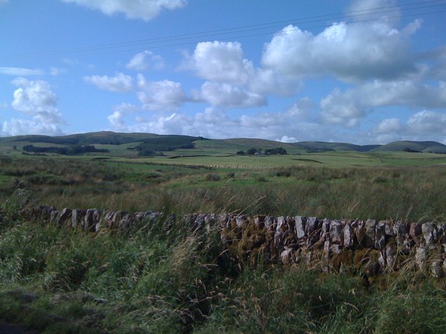
Image: © Darrin Antrobus Taken: 30 Jul 2009
The picture shows Coshogle Hill Plantation just left of centre, and Inglestone farm in the centre. Taken from a square to the south.
Images are licensed for reuse under creativecommons.org/licenses/by-sa/2.0
Image Location
Latitude
55.330913
Longitude
-3.793184