Ex-military infrastructure 1
Introduction
The photograph on this page of Ex-military infrastructure 1 by Jonathan Billinger as part of the Geograph project.
The Geograph project started in 2005 with the aim of publishing, organising and preserving representative images for every square kilometre of Great Britain, Ireland and the Isle of Man.

There are currently over 7.5m images from over 14,400 individuals and you can help contribute to the project by visiting https://www.geograph.org.uk
Ex-military infrastructure 1
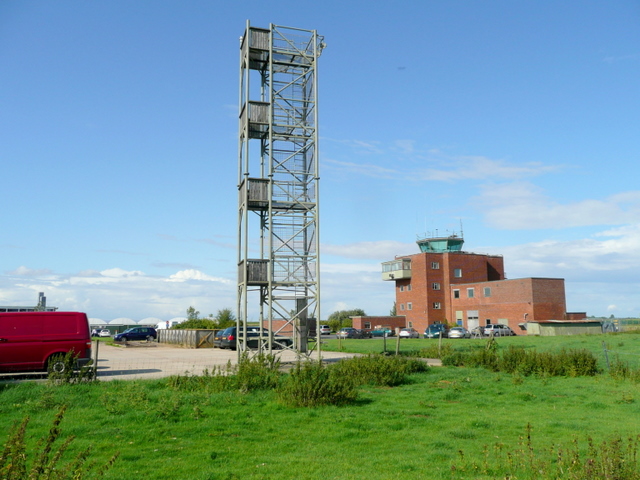
Image: © Jonathan Billinger Taken: 27 Jul 2009
Control tower of what was Thurleigh Airfield.
Images are licensed for reuse under creativecommons.org/licenses/by-sa/2.0
Image Location
Latitude
52.22617
Longitude
-0.466956