Housing development, Balmoral Grove
Introduction
The photograph on this page of Housing development, Balmoral Grove by Pauline E as part of the Geograph project.
The Geograph project started in 2005 with the aim of publishing, organising and preserving representative images for every square kilometre of Great Britain, Ireland and the Isle of Man.

There are currently over 7.5m images from over 14,400 individuals and you can help contribute to the project by visiting https://www.geograph.org.uk
Housing development, Balmoral Grove
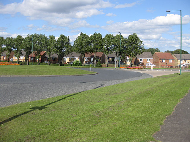
Image: © Pauline E Taken: 25 Jul 2009
Formerly, allotments. A few allotments still exist to the east of the development. Viewed across Number One roundabout.
Images are licensed for reuse under creativecommons.org/licenses/by-sa/2.0
Image Location
Latitude
54.861479
Longitude
-1.829679