Strange shaped plantation
Introduction
The photograph on this page of Strange shaped plantation by Stephen Craven as part of the Geograph project.
The Geograph project started in 2005 with the aim of publishing, organising and preserving representative images for every square kilometre of Great Britain, Ireland and the Isle of Man.

There are currently over 7.5m images from over 14,400 individuals and you can help contribute to the project by visiting https://www.geograph.org.uk
Strange shaped plantation
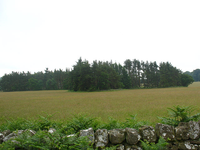
Image: © Stephen Craven Taken: 28 Jun 2009
The map shows the unusual shape of this plantation, which as can be seen from the ground has a wall around it. As the ground is only gently and evenly sloping, there is no obvious reason for the erratic outline.
Images are licensed for reuse under creativecommons.org/licenses/by-sa/2.0
Image Location
Latitude
55.54301
Longitude
-1.971448