View Towards Four Marks, Hampshire
Introduction
The photograph on this page of View Towards Four Marks, Hampshire by Peter Trimming as part of the Geograph project.
The Geograph project started in 2005 with the aim of publishing, organising and preserving representative images for every square kilometre of Great Britain, Ireland and the Isle of Man.

There are currently over 7.5m images from over 14,400 individuals and you can help contribute to the project by visiting https://www.geograph.org.uk
View Towards Four Marks, Hampshire
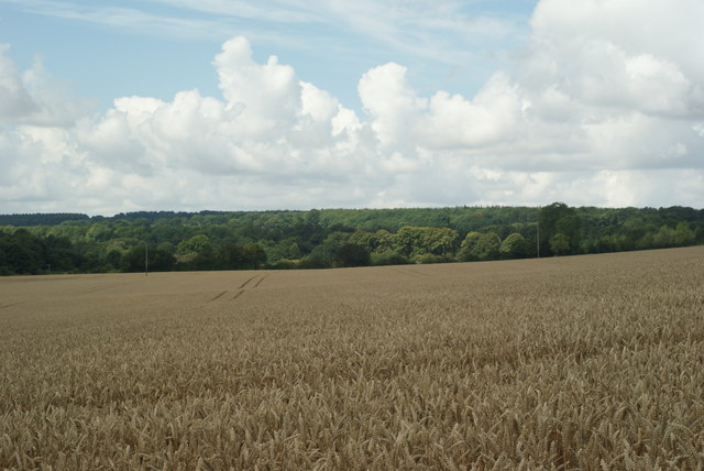
Image: © Peter Trimming Taken: 25 Jul 2009
The first 200 yards of the field are in this grid square. The village of Four Marks is four miles away, on the distant wooded hill.
Images are licensed for reuse under creativecommons.org/licenses/by-sa/2.0
Image Location


Leaflet Map data © OpenStreetMap
Latitude
51.138636
Longitude
-0.971527