Queensway, Leamington Spa
Introduction
The photograph on this page of Queensway, Leamington Spa by Robin Stott as part of the Geograph project.
The Geograph project started in 2005 with the aim of publishing, organising and preserving representative images for every square kilometre of Great Britain, Ireland and the Isle of Man.

There are currently over 7.5m images from over 14,400 individuals and you can help contribute to the project by visiting https://www.geograph.org.uk
Queensway, Leamington Spa
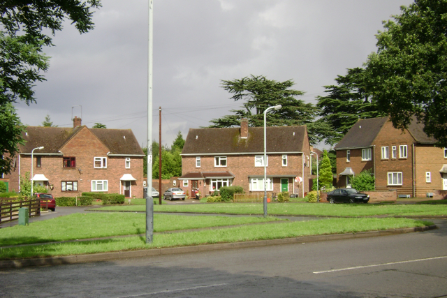
Image: © Robin Stott Taken: 24 Jul 2009
The cedar trees in the background are all that remains of the Shrubland Hall estate, part of which was developed for council housing in the 1920s as part of Leamington's slum clearance programme.
Images are licensed for reuse under creativecommons.org/licenses/by-sa/2.0
Image Location
Latitude
52.280465
Longitude
-1.544094