Culverted stream on Goss Moor
Introduction
The photograph on this page of Culverted stream on Goss Moor by Rod Allday as part of the Geograph project.
The Geograph project started in 2005 with the aim of publishing, organising and preserving representative images for every square kilometre of Great Britain, Ireland and the Isle of Man.

There are currently over 7.5m images from over 14,400 individuals and you can help contribute to the project by visiting https://www.geograph.org.uk
Culverted stream on Goss Moor
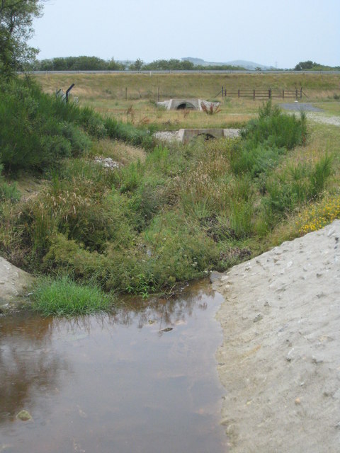
Image: © Rod Allday Taken: 26 Jul 2009
Culverted to pass beneath the new dualled A30 which can be seen on an embankment ahead.
Images are licensed for reuse under creativecommons.org/licenses/by-sa/2.0
Image Location
Latitude
50.418883
Longitude
-4.878509