Poorhouse Weir abstraction point
Introduction
The photograph on this page of Poorhouse Weir abstraction point by Phil Williams as part of the Geograph project.
The Geograph project started in 2005 with the aim of publishing, organising and preserving representative images for every square kilometre of Great Britain, Ireland and the Isle of Man.

There are currently over 7.5m images from over 14,400 individuals and you can help contribute to the project by visiting https://www.geograph.org.uk
Poorhouse Weir abstraction point
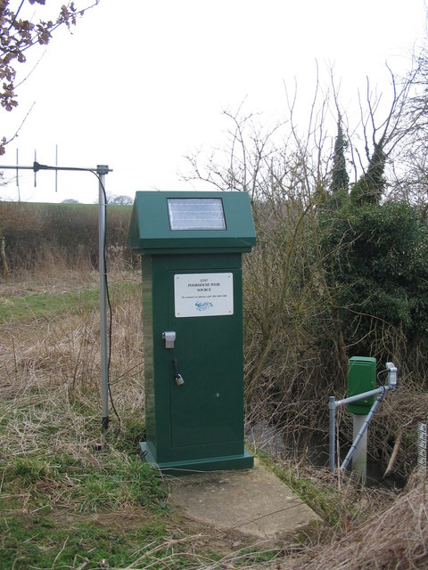
Image: © Phil Williams Taken: 23 Mar 2006
A view looking southwest to the abstraction point at Poorhouse Weir. The solar cell is presumably for the remote monitoring equipment with its associated Yagi aerial (left).
Images are licensed for reuse under creativecommons.org/licenses/by-sa/2.0
Image Location
Latitude
51.367642
Longitude
-2.226911