A field near Henry VIII Farm, Myton, Warwick
Introduction
The photograph on this page of A field near Henry VIII Farm, Myton, Warwick by Robin Stott as part of the Geograph project.
The Geograph project started in 2005 with the aim of publishing, organising and preserving representative images for every square kilometre of Great Britain, Ireland and the Isle of Man.

There are currently over 7.5m images from over 14,400 individuals and you can help contribute to the project by visiting https://www.geograph.org.uk
A field near Henry VIII Farm, Myton, Warwick
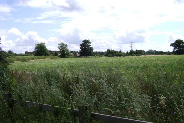
Image: © Robin Stott Taken: 23 Jul 2009
A field boundary on the map that should run across the foreground has disappeared. Leamington's link to the M40, Europa Way, crosses the picture in the distance. The solicitors' offices Image can be made out on the left.
Images are licensed for reuse under creativecommons.org/licenses/by-sa/2.0
Image Location
Latitude
52.27961
Longitude
-1.555829