Cycleway, Heathcote, Warwick/Leamington
Introduction
The photograph on this page of Cycleway, Heathcote, Warwick/Leamington by Robin Stott as part of the Geograph project.
The Geograph project started in 2005 with the aim of publishing, organising and preserving representative images for every square kilometre of Great Britain, Ireland and the Isle of Man.

There are currently over 7.5m images from over 14,400 individuals and you can help contribute to the project by visiting https://www.geograph.org.uk
Cycleway, Heathcote, Warwick/Leamington
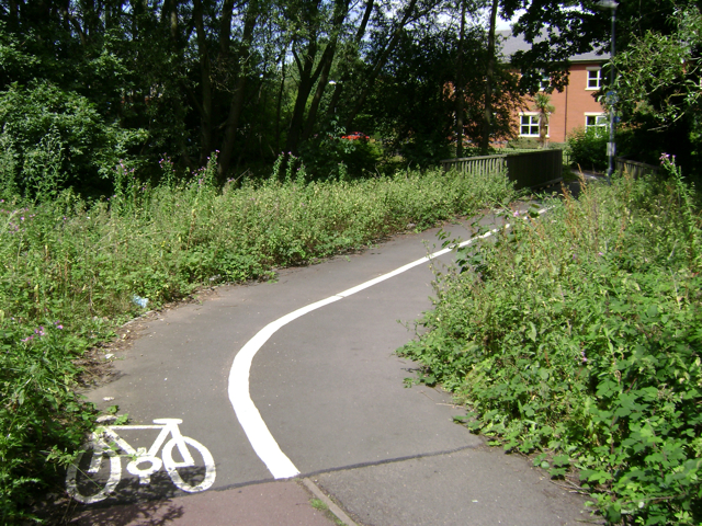
Image: © Robin Stott Taken: 23 Jul 2009
Although it looks lightly-used it provides a handy short link between the older Heathcote Industrial Estate and the newer Tachbrook Park. Here it crosses a miraculously surviving stream that gives its name to Brook Farm on its way to join the River Avon at Myton Image
Images are licensed for reuse under creativecommons.org/licenses/by-sa/2.0
Image Location
Latitude
52.2742
Longitude
-1.551486