Crosslanes Corner
Introduction
The photograph on this page of Crosslanes Corner by Peter Whatley as part of the Geograph project.
The Geograph project started in 2005 with the aim of publishing, organising and preserving representative images for every square kilometre of Great Britain, Ireland and the Isle of Man.

There are currently over 7.5m images from over 14,400 individuals and you can help contribute to the project by visiting https://www.geograph.org.uk
Crosslanes Corner
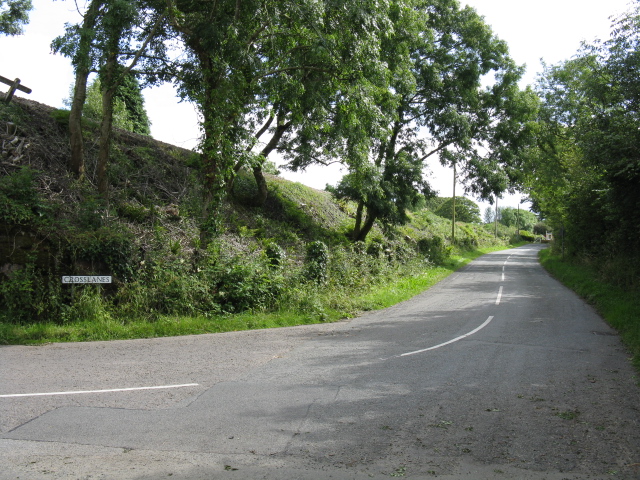
Image: © Peter Whatley Taken: 18 Jul 2009
Formerly the junction with Station Road, before the latter was severed by Kilgetty's by-pass. The embankment marks the railway's course.
Images are licensed for reuse under creativecommons.org/licenses/by-sa/2.0
Image Location


Leaflet Map data © OpenStreetMap
Latitude
51.726793
Longitude
-4.715416