Roadworks, the Westlink, Belfast
Introduction
The photograph on this page of Roadworks, the Westlink, Belfast by Albert Bridge as part of the Geograph project.
The Geograph project started in 2005 with the aim of publishing, organising and preserving representative images for every square kilometre of Great Britain, Ireland and the Isle of Man.

There are currently over 7.5m images from over 14,400 individuals and you can help contribute to the project by visiting https://www.geograph.org.uk
Roadworks, the Westlink, Belfast
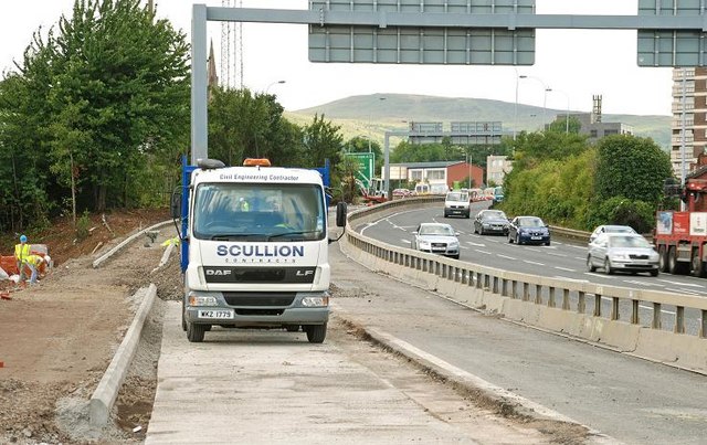
Image: © Albert Bridge Taken: 23 Jul 2009
See Image Work underway, at York Street, for the “Provision of left turn lane into York Street. Lane closure in operation”.
Images are licensed for reuse under creativecommons.org/licenses/by-sa/2.0
Image Location
Latitude
54.607503
Longitude
-5.92646