Converted Church
Introduction
The photograph on this page of Converted Church by Steve Barnes as part of the Geograph project.
The Geograph project started in 2005 with the aim of publishing, organising and preserving representative images for every square kilometre of Great Britain, Ireland and the Isle of Man.

There are currently over 7.5m images from over 14,400 individuals and you can help contribute to the project by visiting https://www.geograph.org.uk
Converted Church
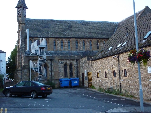
Image: © Steve Barnes Taken: 23 Jul 2009
This former church has been converted into some form of multiple occupancy dwelling hence the fire escape.
Images are licensed for reuse under creativecommons.org/licenses/by-sa/2.0
Image Location
Latitude
50.940645
Longitude
-2.632734