Hartpury Methodist Church - 2
Introduction
The photograph on this page of Hartpury Methodist Church - 2 by Trevor Rickard as part of the Geograph project.
The Geograph project started in 2005 with the aim of publishing, organising and preserving representative images for every square kilometre of Great Britain, Ireland and the Isle of Man.

There are currently over 7.5m images from over 14,400 individuals and you can help contribute to the project by visiting https://www.geograph.org.uk
Hartpury Methodist Church - 2
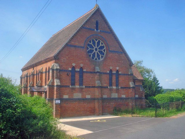
Image: © Trevor Rickard Taken: 4 Jun 2009
The main entrance is on the right. The chapel has an ample disabled parking space and the arrow on the left shows the way to the lift for the first floor.
Images are licensed for reuse under creativecommons.org/licenses/by-sa/2.0
Image Location
Latitude
51.919482
Longitude
-2.287846