Bryant Close, Horncastle
Introduction
The photograph on this page of Bryant Close, Horncastle by Dave Hitchborne as part of the Geograph project.
The Geograph project started in 2005 with the aim of publishing, organising and preserving representative images for every square kilometre of Great Britain, Ireland and the Isle of Man.

There are currently over 7.5m images from over 14,400 individuals and you can help contribute to the project by visiting https://www.geograph.org.uk
Bryant Close, Horncastle
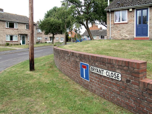
Image: © Dave Hitchborne Taken: 18 Jul 2009
I just took a discrete photograph into the close as it's all sheltered housing and retirement homes for the elderly, of which I am one, but I don't live here. I did attract attention and was asked by an elderly gentleman if I was there to photograph the Town Hall. Before I could answer, I was told what an eyesore it was. So that's one opinion. There again, most places look untidy when they are boarded up. His wife gave him the, "What are you on about", look, when he told me the old Drill Hall was once the Town Hall. Which it wasn't. The housing in the close was built in 1969.
Images are licensed for reuse under creativecommons.org/licenses/by-sa/2.0
Image Location
Latitude
53.2061
Longitude
-0.114019