Smithamdowns Road, Purley
Introduction
The photograph on this page of Smithamdowns Road, Purley by Dr Neil Clifton as part of the Geograph project.
The Geograph project started in 2005 with the aim of publishing, organising and preserving representative images for every square kilometre of Great Britain, Ireland and the Isle of Man.

There are currently over 7.5m images from over 14,400 individuals and you can help contribute to the project by visiting https://www.geograph.org.uk
Smithamdowns Road, Purley
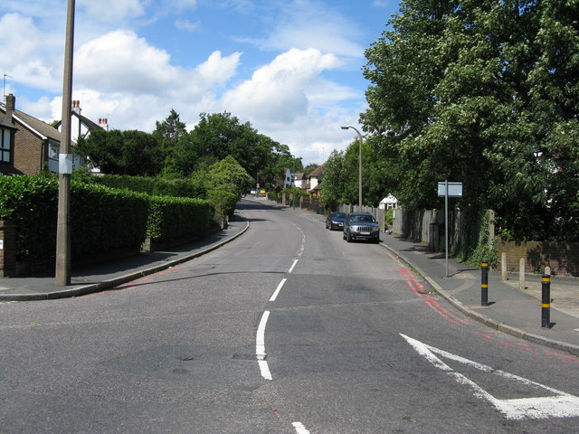
Image: © Dr Neil Clifton Taken: 23 Jul 2009
This road, which is part of the B2030, rises steeply from the camera position at the junction with the A23, curving to the north west for half a mile to a junction with the A237, which also marks the northern extremity of the B2030.
Images are licensed for reuse under creativecommons.org/licenses/by-sa/2.0
Image Location
Latitude
51.327938
Longitude
-0.12979