Princes Street - Dorchester
Introduction
The photograph on this page of Princes Street - Dorchester by Sarah Smith as part of the Geograph project.
The Geograph project started in 2005 with the aim of publishing, organising and preserving representative images for every square kilometre of Great Britain, Ireland and the Isle of Man.

There are currently over 7.5m images from over 14,400 individuals and you can help contribute to the project by visiting https://www.geograph.org.uk
Princes Street - Dorchester
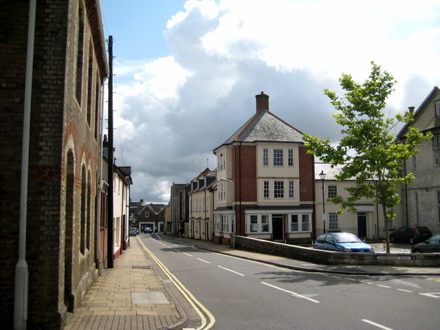
Image: © Sarah Smith Taken: 23 Jul 2009
The lower end of Princes Street with the new housing development adjoining the old Dorset County Hospital on the right. The junction at the bottom is with Trinity Street.
Images are licensed for reuse under creativecommons.org/licenses/by-sa/2.0
Image Location
Latitude
50.714653
Longitude
-2.438752