Cummertrees Village
Introduction
The photograph on this page of Cummertrees Village by James T M Towill as part of the Geograph project.
The Geograph project started in 2005 with the aim of publishing, organising and preserving representative images for every square kilometre of Great Britain, Ireland and the Isle of Man.

There are currently over 7.5m images from over 14,400 individuals and you can help contribute to the project by visiting https://www.geograph.org.uk
Cummertrees Village
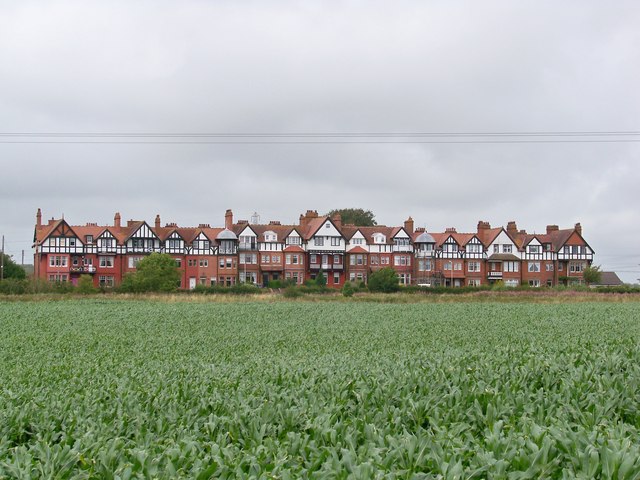
Image: © James T M Towill Taken: 22 Jul 2009
Looking across a field of maize at Cummertrees with overhead powerlines just crying out to be erased by 'Photoshop'!
Images are licensed for reuse under creativecommons.org/licenses/by-sa/2.0
Image Location
Latitude
54.985997
Longitude
-3.337663