Sawyers Arms - Nailsea
Introduction
The photograph on this page of Sawyers Arms - Nailsea by Steve Barnes as part of the Geograph project.
The Geograph project started in 2005 with the aim of publishing, organising and preserving representative images for every square kilometre of Great Britain, Ireland and the Isle of Man.

There are currently over 7.5m images from over 14,400 individuals and you can help contribute to the project by visiting https://www.geograph.org.uk
Sawyers Arms - Nailsea
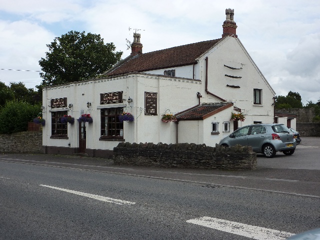
Image: © Steve Barnes Taken: 22 Jul 2009
As one heads east this is the last public house in High St, Nailsea before reaching the boundary with Wraxall.
Images are licensed for reuse under creativecommons.org/licenses/by-sa/2.0
Image Location
Latitude
51.436587
Longitude
-2.749621