Eastbury Avenue, Rochford
Introduction
The photograph on this page of Eastbury Avenue, Rochford by David Kemp as part of the Geograph project.
The Geograph project started in 2005 with the aim of publishing, organising and preserving representative images for every square kilometre of Great Britain, Ireland and the Isle of Man.

There are currently over 7.5m images from over 14,400 individuals and you can help contribute to the project by visiting https://www.geograph.org.uk
Eastbury Avenue, Rochford
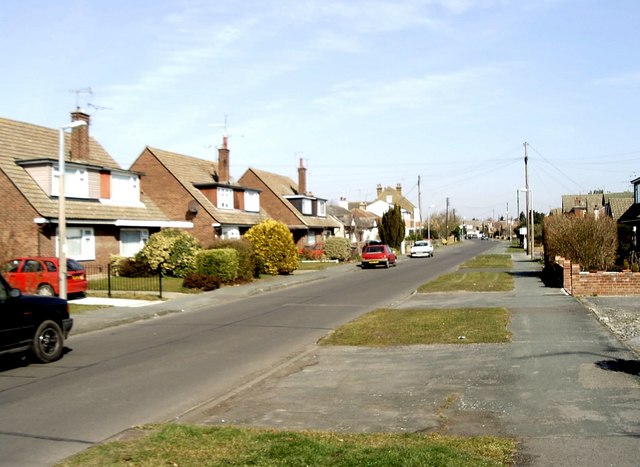
Image: © David Kemp Taken: 23 Mar 2006
From the early 1950s onward residential development began to cover the parts of the gridsquare to the north-east of the Southend Victoria to Shenfield railway following its electrification. Chalet-type houses such as these are typical of the area. Taken near the junction with Parklands looking north.
Images are licensed for reuse under creativecommons.org/licenses/by-sa/2.0
Image Location
Latitude
51.593239
Longitude
0.692518