Old Gatehouse Road, Dawlish
Introduction
The photograph on this page of Old Gatehouse Road, Dawlish by Robin Stott as part of the Geograph project.
The Geograph project started in 2005 with the aim of publishing, organising and preserving representative images for every square kilometre of Great Britain, Ireland and the Isle of Man.

There are currently over 7.5m images from over 14,400 individuals and you can help contribute to the project by visiting https://www.geograph.org.uk
Old Gatehouse Road, Dawlish
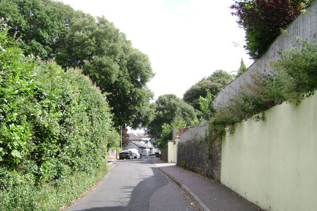
Image: © Robin Stott Taken: 19 Jul 2009
The name echoes Gatehouse Farm to the north. Here the road is nearing its junction with East Cliff Close, a modern cul-de-sac on the left, then East Cliff Road. This is the edge of Victorian Dawlis, signalled by its Holm Oaks and grey limestone walls.
Images are licensed for reuse under creativecommons.org/licenses/by-sa/2.0
Image Location
Latitude
50.58348
Longitude
-3.467533