Looking South From Footpath Junction Near St Lawrence
Introduction
The photograph on this page of Looking South From Footpath Junction Near St Lawrence by Trevor Harris as part of the Geograph project.
The Geograph project started in 2005 with the aim of publishing, organising and preserving representative images for every square kilometre of Great Britain, Ireland and the Isle of Man.

There are currently over 7.5m images from over 14,400 individuals and you can help contribute to the project by visiting https://www.geograph.org.uk
Looking South From Footpath Junction Near St Lawrence
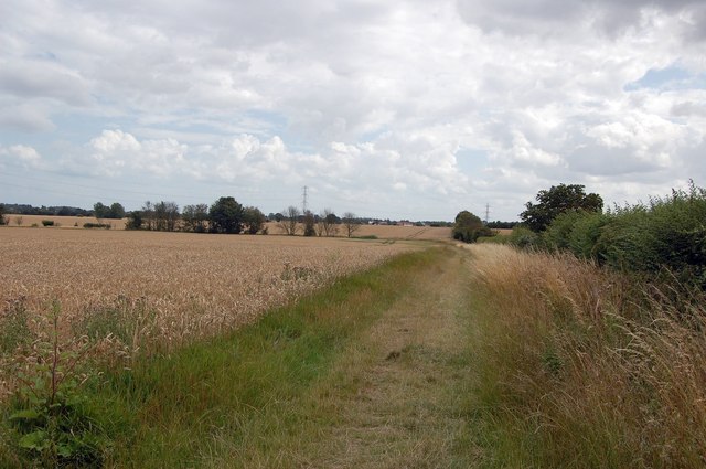
Image: © Trevor Harris Taken: 19 Jul 2009
Taken from St Peter's Way footpath, this looks south along the path towards High House Farm.
Images are licensed for reuse under creativecommons.org/licenses/by-sa/2.0
Image Location
Latitude
51.698379
Longitude
0.848553