Track through a rural conservation area
Introduction
The photograph on this page of Track through a rural conservation area by Stephen Craven as part of the Geograph project.
The Geograph project started in 2005 with the aim of publishing, organising and preserving representative images for every square kilometre of Great Britain, Ireland and the Isle of Man.

There are currently over 7.5m images from over 14,400 individuals and you can help contribute to the project by visiting https://www.geograph.org.uk
Track through a rural conservation area
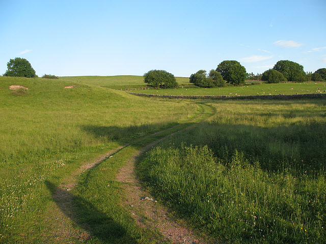
Image: © Stephen Craven Taken: 25 Jun 2009
The field through which this track runs is the John Sturtt Conservation Area, according to a sign on the gate. The track gives public access to the former railway track nearby Image
Images are licensed for reuse under creativecommons.org/licenses/by-sa/2.0
Image Location
Latitude
54.474461
Longitude
-2.332972