The Freemasons Tavern
Introduction
The photograph on this page of The Freemasons Tavern by Arb as part of the Geograph project.
The Geograph project started in 2005 with the aim of publishing, organising and preserving representative images for every square kilometre of Great Britain, Ireland and the Isle of Man.

There are currently over 7.5m images from over 14,400 individuals and you can help contribute to the project by visiting https://www.geograph.org.uk
The Freemasons Tavern
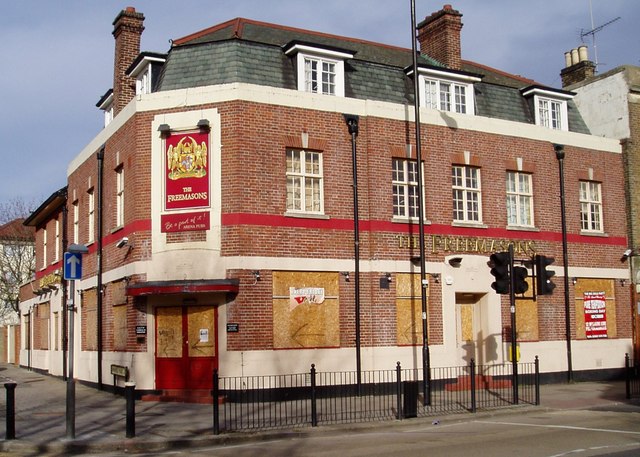
Image: © Arb Taken: 3 Feb 2008
Named after the former school whose land it adjoins. Opened c1875. Closed and boarded up autumn 2007.
Images are licensed for reuse under creativecommons.org/licenses/by-sa/2.0
Image Location
Latitude
51.599003
Longitude
-0.102979