Fitzroy
Introduction
The photograph on this page of Fitzroy by Derek Harper as part of the Geograph project.
The Geograph project started in 2005 with the aim of publishing, organising and preserving representative images for every square kilometre of Great Britain, Ireland and the Isle of Man.

There are currently over 7.5m images from over 14,400 individuals and you can help contribute to the project by visiting https://www.geograph.org.uk
Fitzroy
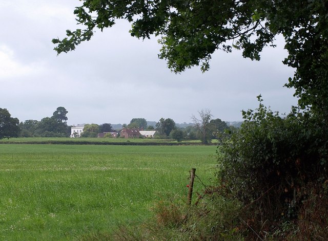
Image: © Derek Harper Taken: 17 Jul 2009
The hamlet seen across the low-lying fields of the Back Stream valley from footpath T 18/14 as it turns past a corner of a large field. Fitzroy farm is just left of centre; the imposing late C18 Fitzroy House (see Image) with its Doric porch is in Image
Images are licensed for reuse under creativecommons.org/licenses/by-sa/2.0
Image Location
Latitude
51.044009
Longitude
-3.155942