Footbridge, Portavo Reservoir
Introduction
The photograph on this page of Footbridge, Portavo Reservoir by Rossographer as part of the Geograph project.
The Geograph project started in 2005 with the aim of publishing, organising and preserving representative images for every square kilometre of Great Britain, Ireland and the Isle of Man.

There are currently over 7.5m images from over 14,400 individuals and you can help contribute to the project by visiting https://www.geograph.org.uk
Footbridge, Portavo Reservoir
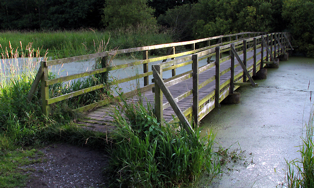
Image: © Rossographer Taken: 19 Jul 2009
Footbridge across the southern edge of the now disused reservoir at Portavo near Donaghadee. It is now a popular spot for both walkers and anglers (the lake is stocked annually with trout). See http://www.geograph.org.uk/search.php?i=7210743 for some related images.
Images are licensed for reuse under creativecommons.org/licenses/by-sa/2.0
Image Location
Latitude
54.664738
Longitude
-5.587021