Hedleyhope Fell Nature Reserve
Introduction
The photograph on this page of Hedleyhope Fell Nature Reserve by Ian Porter as part of the Geograph project.
The Geograph project started in 2005 with the aim of publishing, organising and preserving representative images for every square kilometre of Great Britain, Ireland and the Isle of Man.

There are currently over 7.5m images from over 14,400 individuals and you can help contribute to the project by visiting https://www.geograph.org.uk
Hedleyhope Fell Nature Reserve
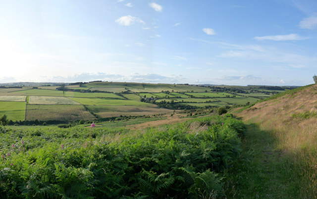
Image: © Ian Porter Taken: 19 Jul 2009
This nature reserve is described by Durham Wildlife Trust as a "mid altitude heathland". The trust manages the heath otherwise it would gradually change to woodland. Durham Wildlife Trust http://www.durhamwt.co.uk/hedleyhopefell.htm The photograph is a panorama made from five separate photographs.
Images are licensed for reuse under creativecommons.org/licenses/by-sa/2.0
Image Location


Leaflet Map data © OpenStreetMap
Latitude
54.771808
Longitude
-1.772402