Unusual Roof Shape
Introduction
The photograph on this page of Unusual Roof Shape by Steve Barnes as part of the Geograph project.
The Geograph project started in 2005 with the aim of publishing, organising and preserving representative images for every square kilometre of Great Britain, Ireland and the Isle of Man.

There are currently over 7.5m images from over 14,400 individuals and you can help contribute to the project by visiting https://www.geograph.org.uk
Unusual Roof Shape
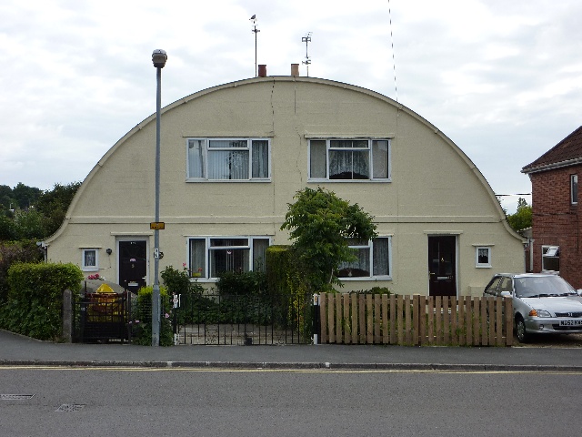
Image: © Steve Barnes Taken: 19 Jul 2009
Originally designed as low cost housing this unusual pair of semis actually turned out to cost more to build than the conventional houses of the time.
Images are licensed for reuse under creativecommons.org/licenses/by-sa/2.0
Image Location
Latitude
50.948028
Longitude
-2.631126