London Wetland
Introduction
The photograph on this page of London Wetland by Sarah Robinson as part of the Geograph project.
The Geograph project started in 2005 with the aim of publishing, organising and preserving representative images for every square kilometre of Great Britain, Ireland and the Isle of Man.

There are currently over 7.5m images from over 14,400 individuals and you can help contribute to the project by visiting https://www.geograph.org.uk
London Wetland
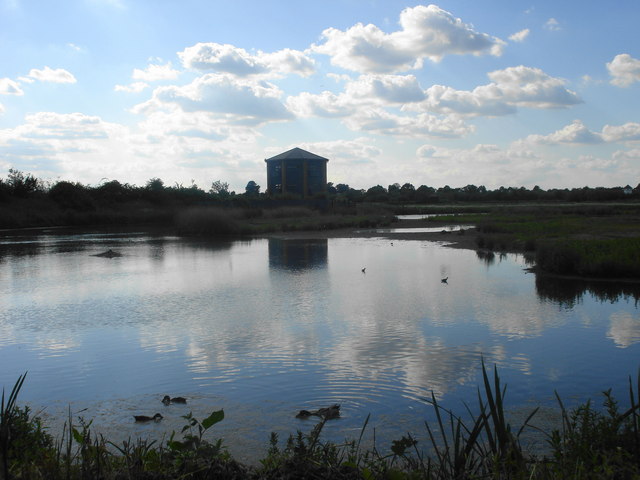
Image: © Sarah Robinson Taken: 31 May 2009
View of London Wetland including wading birds and viewing tower
Images are licensed for reuse under creativecommons.org/licenses/by-sa/2.0
Image Location
Latitude
51.483197
Longitude
-0.237224