Weir, Sunbury Lock
Introduction
The photograph on this page of Weir, Sunbury Lock by David Kemp as part of the Geograph project.
The Geograph project started in 2005 with the aim of publishing, organising and preserving representative images for every square kilometre of Great Britain, Ireland and the Isle of Man.

There are currently over 7.5m images from over 14,400 individuals and you can help contribute to the project by visiting https://www.geograph.org.uk
Weir, Sunbury Lock
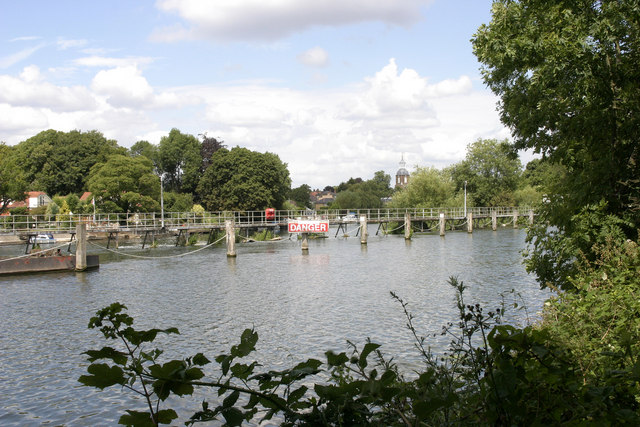
Image: © David Kemp Taken: 16 Jul 2009
The footbridge links the upstream tip of Sunbury Lock Ait and the downstream tip of Wheatley's Ait and crosses one of the weirs of Sunbury Lock.
Images are licensed for reuse under creativecommons.org/licenses/by-sa/2.0
Image Location
Latitude
51.401797
Longitude
-0.412156