Footpath to Turner Road, Tonbridge
Introduction
The photograph on this page of Footpath to Turner Road, Tonbridge by David Anstiss as part of the Geograph project.
The Geograph project started in 2005 with the aim of publishing, organising and preserving representative images for every square kilometre of Great Britain, Ireland and the Isle of Man.

There are currently over 7.5m images from over 14,400 individuals and you can help contribute to the project by visiting https://www.geograph.org.uk
Footpath to Turner Road, Tonbridge
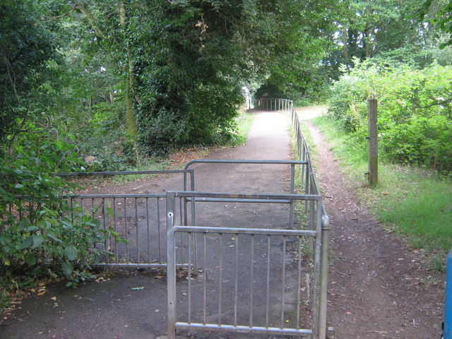
Image: © David Anstiss Taken: 12 Jul 2009
This path leads from Hopgarden Road, leads over Penn Stream. Gates in front stop bicycles speeding down the hill.
Images are licensed for reuse under creativecommons.org/licenses/by-sa/2.0
Image Location
Latitude
51.212395
Longitude
0.289718