Coldharbour, Surrey
Introduction
The photograph on this page of Coldharbour, Surrey by Peter Trimming as part of the Geograph project.
The Geograph project started in 2005 with the aim of publishing, organising and preserving representative images for every square kilometre of Great Britain, Ireland and the Isle of Man.

There are currently over 7.5m images from over 14,400 individuals and you can help contribute to the project by visiting https://www.geograph.org.uk
Coldharbour, Surrey
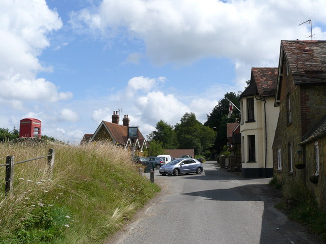
Image: © Peter Trimming Taken: 16 Jul 2009
Looking along Abinger Lane, to the north-east. A conventional village might have a green at this location, but Abinger Road runs near the top of the hill, and the housing straggles along the road, generally just to one side.
Images are licensed for reuse under creativecommons.org/licenses/by-sa/2.0
Image Location
Latitude
51.184533
Longitude
-0.35324