A bend in the Ure
Introduction
The photograph on this page of A bend in the Ure by Gordon Hatton as part of the Geograph project.
The Geograph project started in 2005 with the aim of publishing, organising and preserving representative images for every square kilometre of Great Britain, Ireland and the Isle of Man.

There are currently over 7.5m images from over 14,400 individuals and you can help contribute to the project by visiting https://www.geograph.org.uk
A bend in the Ure
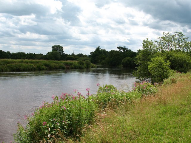
Image: © Gordon Hatton Taken: 14 Jul 2009
Approaching Masham by the riverside path, close enough to see the church spire, but not close enough to smell the malt at the town's two breweries.
Images are licensed for reuse under creativecommons.org/licenses/by-sa/2.0
Image Location
Latitude
54.231694
Longitude
-1.658179