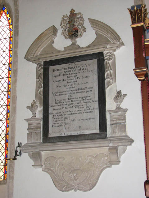
St Mary's church - C17 monument
Introduction
The photograph on this page of St Mary's church - C17 monument by Evelyn Simak as part of the Geograph project.
The Geograph project started in 2005 with the aim of publishing, organising and preserving representative images for every square kilometre of Great Britain, Ireland and the Isle of Man.
There are currently over 7.5m images from over 14,400 individuals and you can help contribute to the project by visiting https://www.geograph.org.uk

Image: © Evelyn Simak Taken: 15 Jul 2009
St Mary's church > http://www.geograph.org.uk/photo/1401987 - http://www.geograph.org.uk/photo/1402002 is situated a good kilometre to the south-east of the village, adjoined by a manor house > http://www.geograph.org.uk/photo/1401970 and a converted stable block on one side and by fields on the other > http://www.geograph.org.uk/photo/1401973. The church originally had a round tower. When it collapsed in the 18th century it was rebuilt square but the rounded section of wall adjoining the nave still stands > http://www.geograph.org.uk/photo/1401997. The entrance to the church is through the north porch which has a vaulted ceiling with roof bosses. The most striking feature of St Mary's is the east window > http://www.geograph.org.uk/photo/1402008 which was assembled from medieval glass as well as 16th and 17th century glass from the Continent, all collected by the then Rector, John Postlethwaite, who left it to the church along with the funds required to have it installed. A magnificent wooden chest > http://www.geograph.org.uk/photo/1402025 stands by the south chancel wall. Known as the Denton chest, it has been constructed from panels depicting saints, all defaced. The octagonal font > http://www.geograph.org.uk/photo/1402029 dates from the 14th century and the church has a set of royal arms to Queen Victoria (above the south door) > http://www.geograph.org.uk/photo/1402030 and to George III (above the north door) > http://www.geograph.org.uk/photo/1402031. St Mary's is used by both the Church of England and the local United Reformed Church community, and its doors are open every day.

