Union Street and Tandragee Road
Introduction
The photograph on this page of Union Street and Tandragee Road by Dean Molyneaux as part of the Geograph project.
The Geograph project started in 2005 with the aim of publishing, organising and preserving representative images for every square kilometre of Great Britain, Ireland and the Isle of Man.

There are currently over 7.5m images from over 14,400 individuals and you can help contribute to the project by visiting https://www.geograph.org.uk
Union Street and Tandragee Road
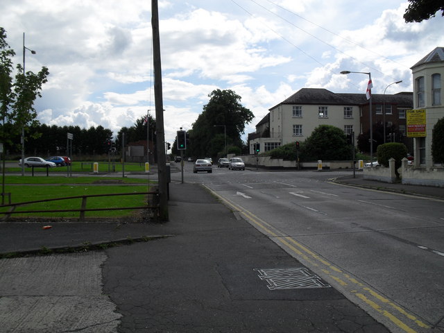
Image: © Dean Molyneaux Taken: 15 Jul 2009
Union Street as it passes Sloan Street and Russell Drive - and becomes the Tandragee Road. The old Lurgan Hospital - now a care centre is on the right.
Images are licensed for reuse under creativecommons.org/licenses/by-sa/2.0
Image Location
Latitude
54.456971
Longitude
-6.336877