St Michael's Road, Warwick
Introduction
The photograph on this page of St Michael's Road, Warwick by Robin Stott as part of the Geograph project.
The Geograph project started in 2005 with the aim of publishing, organising and preserving representative images for every square kilometre of Great Britain, Ireland and the Isle of Man.

There are currently over 7.5m images from over 14,400 individuals and you can help contribute to the project by visiting https://www.geograph.org.uk
St Michael's Road, Warwick
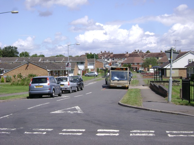
Image: © Robin Stott Taken: 13 Jul 2009
Serving an area largely of council houses and OAPs' bungalows. Its other end joins Cape Road near Millers Road, making it something of a rat-run.
Images are licensed for reuse under creativecommons.org/licenses/by-sa/2.0
Image Location
Latitude
52.287859
Longitude
-1.599728