Somerford: the New Lodge Tavern
Introduction
The photograph on this page of Somerford: the New Lodge Tavern by Chris Downer as part of the Geograph project.
The Geograph project started in 2005 with the aim of publishing, organising and preserving representative images for every square kilometre of Great Britain, Ireland and the Isle of Man.

There are currently over 7.5m images from over 14,400 individuals and you can help contribute to the project by visiting https://www.geograph.org.uk
Somerford: the New Lodge Tavern
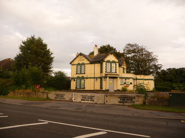
Image: © Chris Downer Taken: 14 Jul 2009
A sad but common sight, a recently disused pub. This one looks as if it should be on a corner but it isn't – and I'm not sure that it ever was.
Images are licensed for reuse under creativecommons.org/licenses/by-sa/2.0
Image Location
Latitude
50.740025
Longitude
-1.746699