Bridleway in Dene Park
Introduction
The photograph on this page of Bridleway in Dene Park by David Anstiss as part of the Geograph project.
The Geograph project started in 2005 with the aim of publishing, organising and preserving representative images for every square kilometre of Great Britain, Ireland and the Isle of Man.

There are currently over 7.5m images from over 14,400 individuals and you can help contribute to the project by visiting https://www.geograph.org.uk
Bridleway in Dene Park
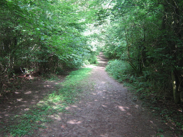
Image: © David Anstiss Taken: 12 Jul 2009
This bridleway leads from the carpark on Puttenden Road, past Kiln Wood (on left) and Point Wood (on right), to a junction in Hoad Common.
Images are licensed for reuse under creativecommons.org/licenses/by-sa/2.0
Image Location


Leaflet Map data © OpenStreetMap
Latitude
51.238544
Longitude
0.285772