Elmley Road meets B2231 Lower Road
Introduction
The photograph on this page of Elmley Road meets B2231 Lower Road by David Anstiss as part of the Geograph project.
The Geograph project started in 2005 with the aim of publishing, organising and preserving representative images for every square kilometre of Great Britain, Ireland and the Isle of Man.

There are currently over 7.5m images from over 14,400 individuals and you can help contribute to the project by visiting https://www.geograph.org.uk
Elmley Road meets B2231 Lower Road
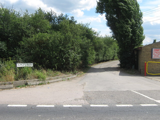
Image: © David Anstiss Taken: 10 Jul 2009
Elmley Road is an access road to several farms and also a bridleway to Poors Farm and Southlees Marshes.
Images are licensed for reuse under creativecommons.org/licenses/by-sa/2.0
Image Location
Latitude
51.409831
Longitude
0.816048