Roundabout on B2231 Lower Road
Introduction
The photograph on this page of Roundabout on B2231 Lower Road by David Anstiss as part of the Geograph project.
The Geograph project started in 2005 with the aim of publishing, organising and preserving representative images for every square kilometre of Great Britain, Ireland and the Isle of Man.

There are currently over 7.5m images from over 14,400 individuals and you can help contribute to the project by visiting https://www.geograph.org.uk
Roundabout on B2231 Lower Road
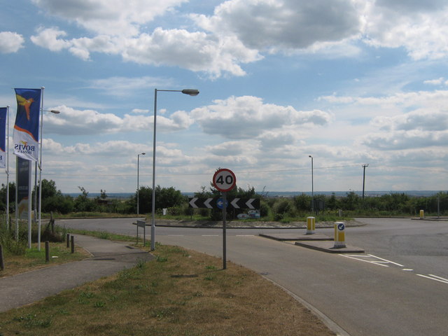
Image: © David Anstiss Taken: 10 Jul 2009
Thistle Hill Way from Minster leads through a new large housing estate to reach the Lower Road, which heads right to Eastchurch and Leysdown, or left to A249 Sheppey Way and Queenborough.
Images are licensed for reuse under creativecommons.org/licenses/by-sa/2.0
Image Location
Latitude
51.410305
Longitude
0.792491