Broad Street
Introduction
The photograph on this page of Broad Street by Nigel Cox as part of the Geograph project.
The Geograph project started in 2005 with the aim of publishing, organising and preserving representative images for every square kilometre of Great Britain, Ireland and the Isle of Man.

There are currently over 7.5m images from over 14,400 individuals and you can help contribute to the project by visiting https://www.geograph.org.uk
Broad Street
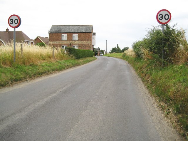
Image: © Nigel Cox Taken: 10 Jul 2009
Broad Street is one of those locations where the name of the settlement and the name of the road are the same. The buff strip on the building is a course of yellow brickwork with the name of a former seed & cake merchants painted on it. There is a loading bay at first floor level overhanging the road. The 1889 Ordnance Survey 6" to the mile map shows several other buildings like this, along and right on the road, and each with its own well.
Images are licensed for reuse under creativecommons.org/licenses/by-sa/2.0
Image Location
Latitude
51.332428
Longitude
-1.849238