Old coach road
Introduction
The photograph on this page of Old coach road by brian as part of the Geograph project.
The Geograph project started in 2005 with the aim of publishing, organising and preserving representative images for every square kilometre of Great Britain, Ireland and the Isle of Man.

There are currently over 7.5m images from over 14,400 individuals and you can help contribute to the project by visiting https://www.geograph.org.uk
Old coach road
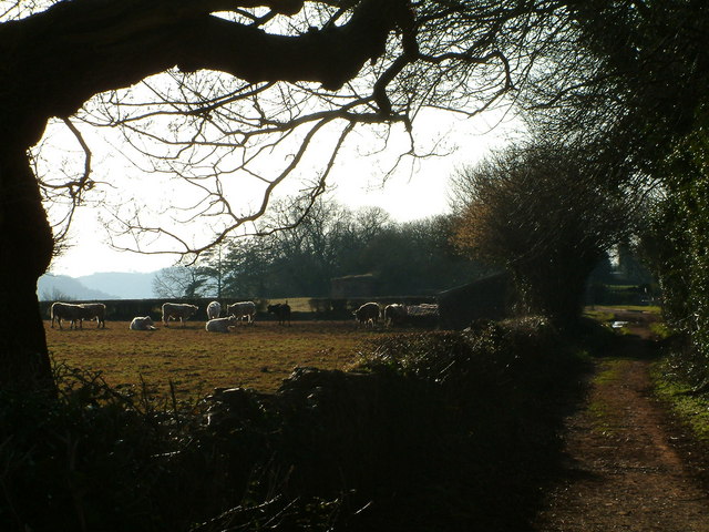
Image: © brian Taken: 18 Mar 2006
Late evening sunshine in March 2006 on a 17th century coaching road. The structure in the background is a WW2 type 29 pillbox on "defence line green", a defence line for Bristol, which fortunately was never needed.
Images are licensed for reuse under creativecommons.org/licenses/by-sa/2.0
Image Location


Leaflet Map data © OpenStreetMap
Latitude
51.206112
Longitude
-2.629781