St Thomas' church, Chevithorne
Introduction
The photograph on this page of St Thomas' church, Chevithorne by Derek Harper as part of the Geograph project.
The Geograph project started in 2005 with the aim of publishing, organising and preserving representative images for every square kilometre of Great Britain, Ireland and the Isle of Man.

There are currently over 7.5m images from over 14,400 individuals and you can help contribute to the project by visiting https://www.geograph.org.uk
St Thomas' church, Chevithorne
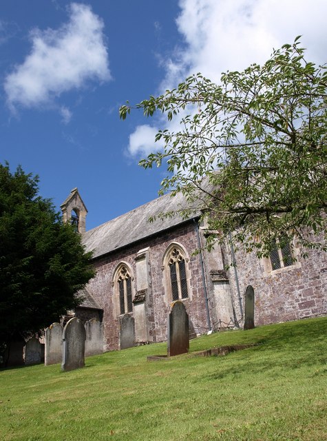
Image: © Derek Harper Taken: 8 Jul 2009
The lane on the east side is below the level of the sloping churchyard. The church, with its western bellcote, dates from 1843 and is small - but then so is Chevithorne. There are striking headstops. http://www.imagesofengland.org.uk/Details/Default.aspx?id=485158&mode=adv
Images are licensed for reuse under creativecommons.org/licenses/by-sa/2.0
Image Location
Latitude
50.928451
Longitude
-3.461004