Driffield fire station
Introduction
The photograph on this page of Driffield fire station by Kevin Hale as part of the Geograph project.
The Geograph project started in 2005 with the aim of publishing, organising and preserving representative images for every square kilometre of Great Britain, Ireland and the Isle of Man.

There are currently over 7.5m images from over 14,400 individuals and you can help contribute to the project by visiting https://www.geograph.org.uk
Driffield fire station
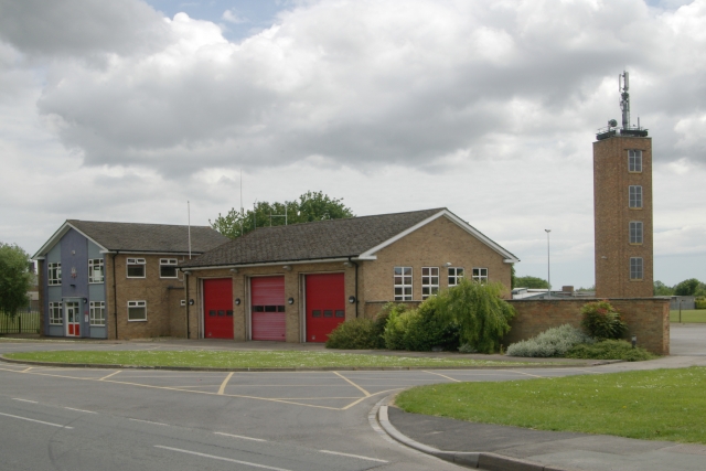
Image: © Kevin Hale Taken: 5 Jun 2009
Driffield fire station, Bridlington Road, Driffield, (which forms part of Humberside Fire & Rescue Service), showing the appliance bays and drill tower
Images are licensed for reuse under creativecommons.org/licenses/by-sa/2.0
Image Location
Latitude
54.008804
Longitude
-0.431615