Carnmoney Village
Introduction
The photograph on this page of Carnmoney Village by Dean Molyneaux as part of the Geograph project.
The Geograph project started in 2005 with the aim of publishing, organising and preserving representative images for every square kilometre of Great Britain, Ireland and the Isle of Man.

There are currently over 7.5m images from over 14,400 individuals and you can help contribute to the project by visiting https://www.geograph.org.uk
Carnmoney Village
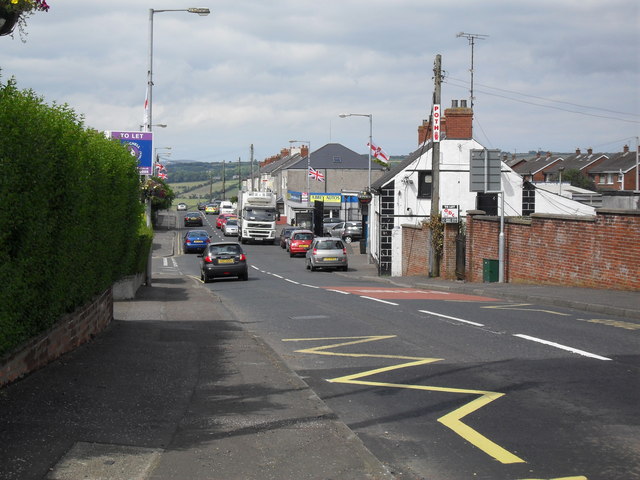
Image: © Dean Molyneaux Taken: 10 Jul 2009
Carnmoney Road through the village. This is all that remains of the old village as the area was developed into Newtownabbey under the New Towns Act in 1957.
Images are licensed for reuse under creativecommons.org/licenses/by-sa/2.0
Image Location
Latitude
54.683124
Longitude
-5.950984