Canford Heath: modern roofscape
Introduction
The photograph on this page of Canford Heath: modern roofscape by Chris Downer as part of the Geograph project.
The Geograph project started in 2005 with the aim of publishing, organising and preserving representative images for every square kilometre of Great Britain, Ireland and the Isle of Man.

There are currently over 7.5m images from over 14,400 individuals and you can help contribute to the project by visiting https://www.geograph.org.uk
Canford Heath: modern roofscape
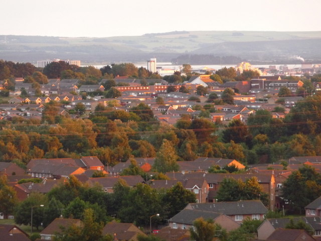
Image: © Chris Downer Taken: 9 Jul 2009
Looking across the vast 1970s housing estate of Canford Heath, from the substantial remaining heathland to the north. Electricity cables, running right across the picture, are catching unexpected bright evening sunlight following a cloudy early evening. The Purbeck Hills are in the distance, with Poole Harbour in front.
Images are licensed for reuse under creativecommons.org/licenses/by-sa/2.0
Image Location
Latitude
50.752251
Longitude
-1.954587