Canford Heath: looking along Canford Way
Introduction
The photograph on this page of Canford Heath: looking along Canford Way by Chris Downer as part of the Geograph project.
The Geograph project started in 2005 with the aim of publishing, organising and preserving representative images for every square kilometre of Great Britain, Ireland and the Isle of Man.

There are currently over 7.5m images from over 14,400 individuals and you can help contribute to the project by visiting https://www.geograph.org.uk
Canford Heath: looking along Canford Way
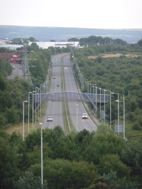
Image: © Chris Downer Taken: 9 Jul 2009
Looking along this straight stretch of the A3049 – essentially a by-pass allowing through traffic to avoid the town centre – from the slopes of Canford Heath to the north.
Images are licensed for reuse under creativecommons.org/licenses/by-sa/2.0
Image Location
Latitude
50.749282
Longitude
-1.951755