Sewell Greenway - Cycle path
Introduction
The photograph on this page of Sewell Greenway - Cycle path by Rob Farrow as part of the Geograph project.
The Geograph project started in 2005 with the aim of publishing, organising and preserving representative images for every square kilometre of Great Britain, Ireland and the Isle of Man.

There are currently over 7.5m images from over 14,400 individuals and you can help contribute to the project by visiting https://www.geograph.org.uk
Sewell Greenway - Cycle path
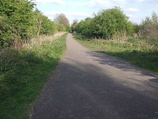
Image: © Rob Farrow Taken: 29 Apr 2009
Sewell Greenway is a cycle path that runs mainly along a disused railway line. This is the very start of it as it leaves Stanbridge Road (now itself a quiet cul-de-sac). A sign by the entrance to this path states that it is 2 miles to Dunstable. Only the first few yards, seen here, are inside this square as it soon dips southwards into SP9722
Images are licensed for reuse under creativecommons.org/licenses/by-sa/2.0
Image Location
Latitude
51.897109
Longitude
-0.59111