Sunbury Court Island
Introduction
The photograph on this page of Sunbury Court Island by David Kemp as part of the Geograph project.
The Geograph project started in 2005 with the aim of publishing, organising and preserving representative images for every square kilometre of Great Britain, Ireland and the Isle of Man.

There are currently over 7.5m images from over 14,400 individuals and you can help contribute to the project by visiting https://www.geograph.org.uk
Sunbury Court Island
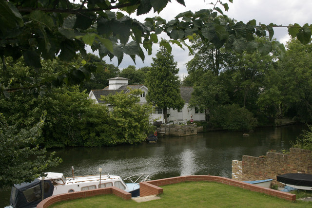
Image: © David Kemp Taken: 9 Jul 2009
This is the eastern end of the island taken from Lower Hampton Road, Sunbury. The island was formerly known as Hayes Ait and has around thirty houses on it. Access is available to residents only.
Images are licensed for reuse under creativecommons.org/licenses/by-sa/2.0
Image Location
Latitude
51.409194
Longitude
-0.39407