The "House Pool" at Nineoaks Fishery, Oakford
Introduction
The photograph on this page of The "House Pool" at Nineoaks Fishery, Oakford by Bill Baker as part of the Geograph project.
The Geograph project started in 2005 with the aim of publishing, organising and preserving representative images for every square kilometre of Great Britain, Ireland and the Isle of Man.

There are currently over 7.5m images from over 14,400 individuals and you can help contribute to the project by visiting https://www.geograph.org.uk
The "House Pool" at Nineoaks Fishery, Oakford
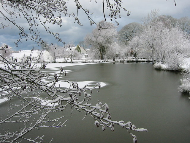
Image: © Bill Baker Taken: 4 Mar 2006
The early morning snowfall of spring 2006 when the lakes were snow covered and frozen. This picture is of the House Pool looking westward towards the village centre.
Images are licensed for reuse under creativecommons.org/licenses/by-sa/2.0
Image Location


Leaflet Map data © OpenStreetMap
Latitude
52.197561
Longitude
-4.265209